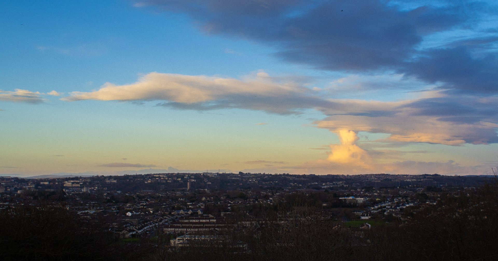
Air Quality in Cork City
Air Quality in Cork City is generally good, but can deteriorate at heavy traffic points and due to solid fuel burning.
Find the latest Air Quality report here.
Clean Air Zone
Learn more about Cork City’s first pedestrianized Clean Air Zone.
Clean Air Together -Citizen Science
Results for a city-wide citizen science project on traffic emissions.
Upcoming Events
Check our events calendar for clean air events!
Air Quality Monitoring
Who measures air quality in Cork City, and what parameters are being looked at?
Clean Air Zone
Ireland’s first Clean Air Zone is a pedestrianized area around Oliver Plunkett Street in the heart of the City. Traffic Emissions are measured to give a information on air quality in the city centre.
Air Quality Monitoring Network in Cork City
Environmental Protection Agency (EPA) Monitoring Network
-
The EPA air quality monitoring network is used for national and EU regulatory reporting purposes.
The network consists of reference-scale, high-end instrumentation, measuring a range of parameters (ozone, PM2.5, PM₁₀, nitrogen oxides and sulphur dioxide).
EPA monitoring stations in Cork are located at the South Link Road, Heatherton Park, University College Cork (UCC), Munster Technological University (MTU) and the Lower Glanmire Road.
-
You can access EPA data at airquality.ie
Cork City Council’s Particulate Matter Air Quality Monitoring Network
-
In addition to the EPA monitoring network, Cork City Council developed Ireland’s first citywide network of PM₂.₅ sensors together with the Centre for Research into Atmospheric Chemistry at University College Cork.
The PM₂.₅ sensor network provides a cost-effective method for displaying real-time indicative information about air quality in different areas of the city.
The air quality data provided on the network can assist citizens, including at-risk groups, to make informed decisions and manage their exposure to outdoor air pollution.
The PM₂.₅ values displayed on the dashboard are indicative; however, they are highly correlated with EPA reference measurements. A colour coding scheme is utilised to describe the air quality in the area at a particular time.
-
You can access Cork City Council Air Quality data at https://corkairquality.ie.
Clean Air Together - Citizen Science Project
The Clean Air Together Project saw 700 people come together to measure air pollution from traffic. The citizen scientists installed little diffuision tubes to measure traffic related Nitrogen Dioxide (NO2) levels at different locations around Cork City in October 2022.
The map shows the results for Cork City and Suburbs, ranging from low levels (dark blue, light blue) to medium (yellow) and higher (orange, red) levels of NO2.
The study revealed that over 90% of locations had low levels of NO2. The highest NO2 levels were found along national primary roads, namely:
•Lower Glanmire Road
•MacCurtain Street (N8)
•Commons Road
•Leitrim Street
•Carroll’s Quay (N20)
•South Link Road (N27)
CLEAN AIR EVENTS
CLEAN AIR EVENTS
April 10 - 17
Various Locations
Cork City
Cork Lifelong Learning Festival 2024
A week full of FREE and fantastic learning events spread across the vibrant neighbourhoods of Cork City. There's something for everyone, and we can't wait for you to join in on the excitement!
June - date tbc
Fitzgerald’s Park
Cork City
Cork Carnival of Science 2024
Every June, Cork City’s Fitzgerald Park featuring more than 50 exhibitors and live science shows, offering non-stop, family-friendly experiments, interactive activities, games, street cuisine and a packed line-up of live entertainment all with a science or STEM theme. Find us at the air quality tent!
September 7
Various Locations
Cork City
International Day of Clean Air for Blue Skies 2024
Join us in celebrating the United Nations Clean Air Day! Program tbc.


